
Walking tracker · Photo map · Walking journal
Your walks, mapped. Your photos, pinned.
forWalking records every walk in the background, even with the screen locked. It draws your route on a real map and pins each photo to the exact spot where you took it, like a print laid on the map.


forWalking: Tours Map Photos iPhone and Android





Walking
- Moving time
- 37:19
- Distance
- 3.08km
- Steps
- 4,166
Photos from Wikimedia Commons (public domain and CC0): Gryffindor, Mustang Joe, Gun Powder Ma, Christophe Schindler, Briain. Credits
How it works
Three signs on the way
No setup, no account. Start a walk, live your day, and the app keeps the whole way for you.
Start walking
Tap the yellow sign and put the phone away. forWalking keeps recording with the screen locked, the app closed or your music playing.
Take photos
Every photo lands on the map exactly where you took it. A tour stop, a street corner, the view from the top.
Live it again
Open the trail report with your route, your numbers and your photos. Replay it, make a video, share it as a card or a guide.
The trail report
Every walk tells you its story
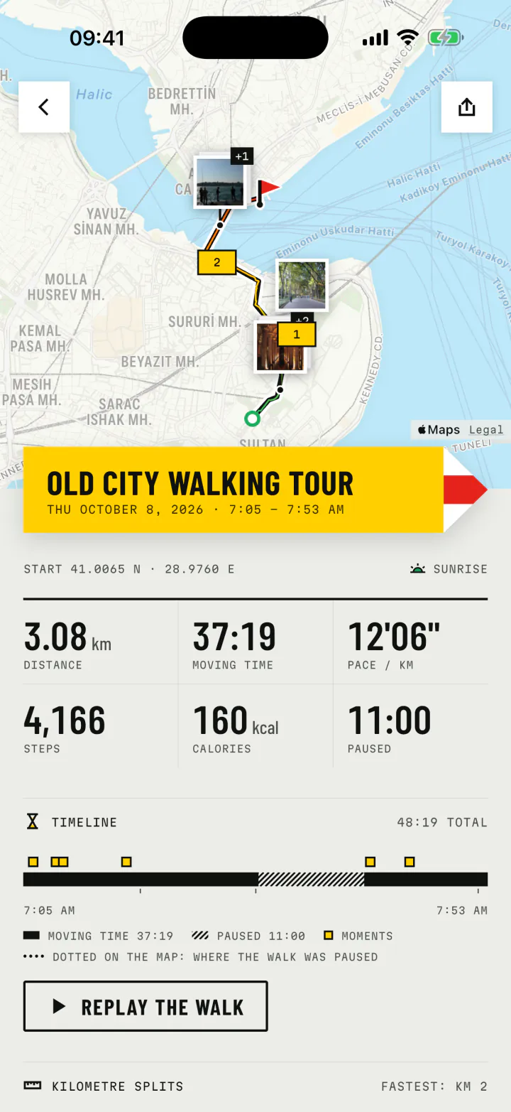
When you finish, the walk is waiting for you as a report. The route on a real map, with a thin wire inside the line that runs from green at the start to red at the finish, so you always see which way you went.
- Distance
- 3.08km
- Moving time
- 37:19
- Pace
- 12'06"/km
- Steps
- 4,166
- A timeline of the walk, with every photo and every pause in its place.
- Kilometre splits, with your fastest one marked.
- Calories worked out from your pace and your weight.
- Time of day: dawn, day, dusk or night, marked on every walk.
Photos with walking
The photo stays where it happened
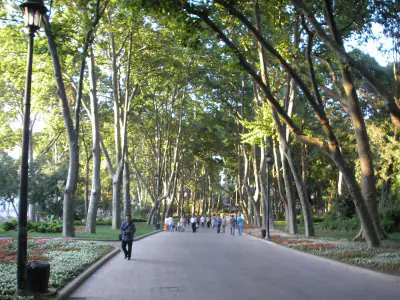
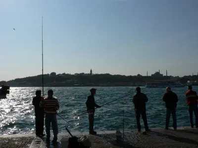
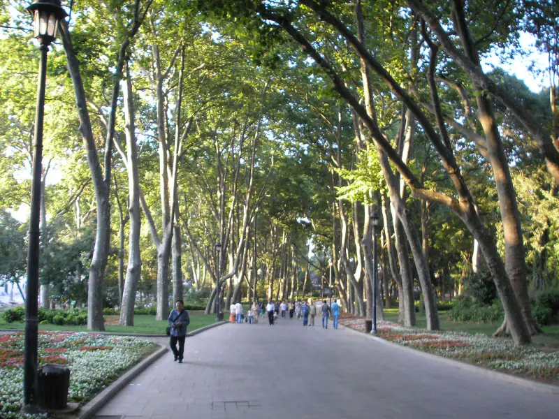
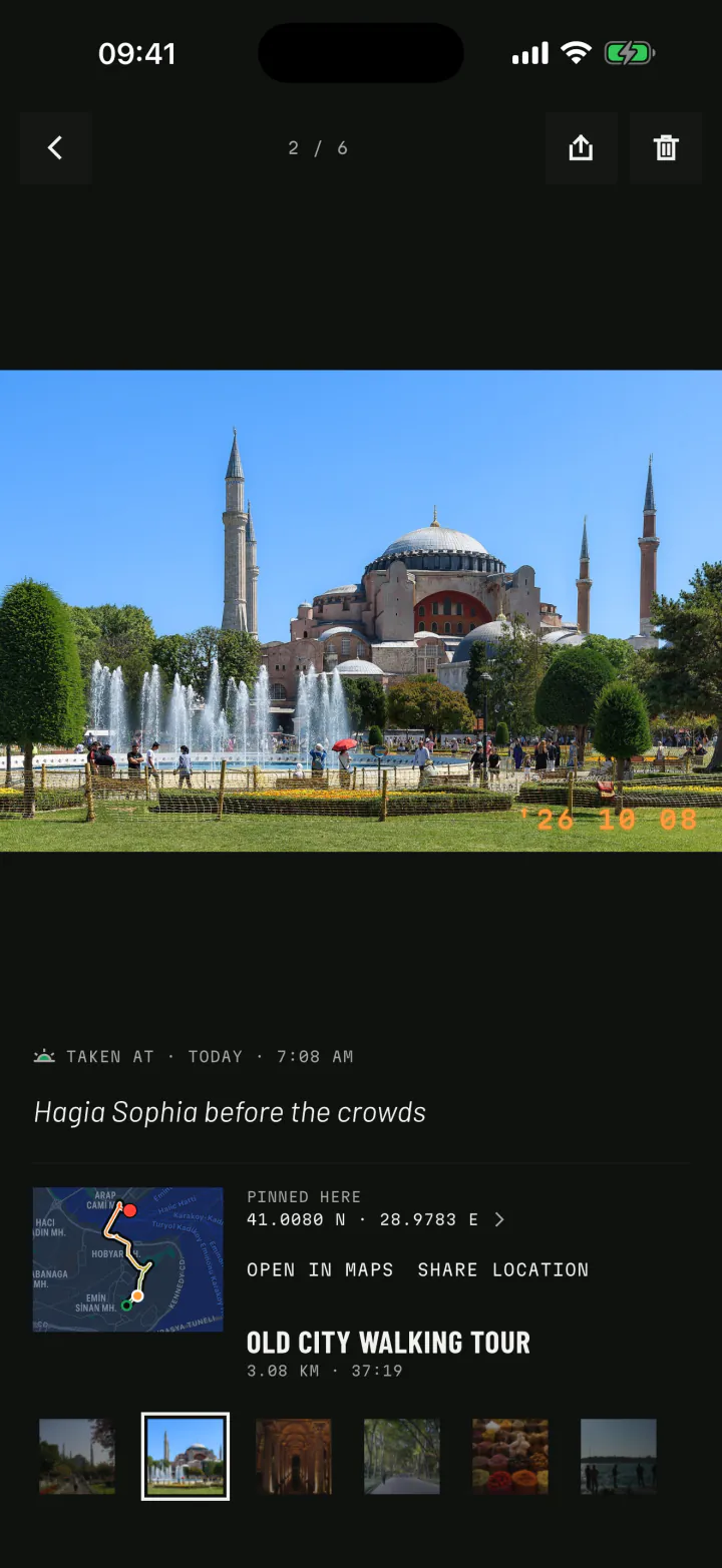
Take a picture on the way and it is pinned to that spot on your route, with the time burned into its corner like an old film camera. Six stops, one morning, one walk.




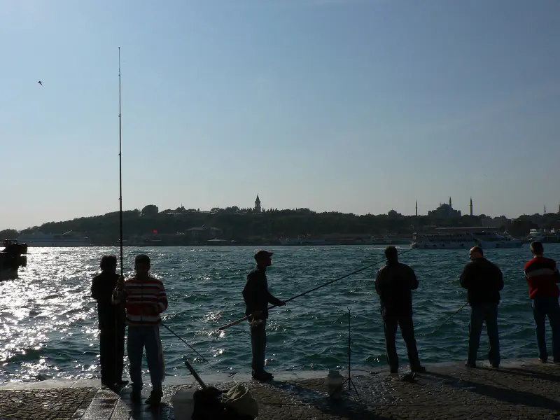
Photos from Wikimedia Commons (public domain and CC0): Gryffindor, Mustang Joe, Gun Powder Ma, Christophe Schindler, Briain. Credits
For every kind of walk
Where are you walking today?
A tourist on a self-guided tour, a photographer with a free morning, a parent pushing a pram, an athlete counting splits. forWalking keeps each of those walks in the way that matters to it.
- Walking toursSelf-guided city walks, every stop pinned on the map.
- Photo walksA photo map and a travel photo diary, made as you walk.
- Walking guidesYour walk becomes a guide others can follow, stop by stop.
- Steps and trainingA step counter, pace and splits for everyday walkers and athletes.
- HikingLong trails recorded in your pocket, from trailhead to summit.
Replay and video
Watch the walk again
Drag through any walk on its timeline and watch the route draw itself, the clock flip and your photos rise where they were taken. Then turn the replay into a video for your story, your feed or a big screen, with music under it.
- 9:16Story
- 3:4Post
- 1:1Square
- 16:9Landscape
- Video in 9:16, 3:4, 1:1 or 16:9, with bundled music or a track of your own.
- Share cards with the route, the photos and the numbers, in five frame sizes.
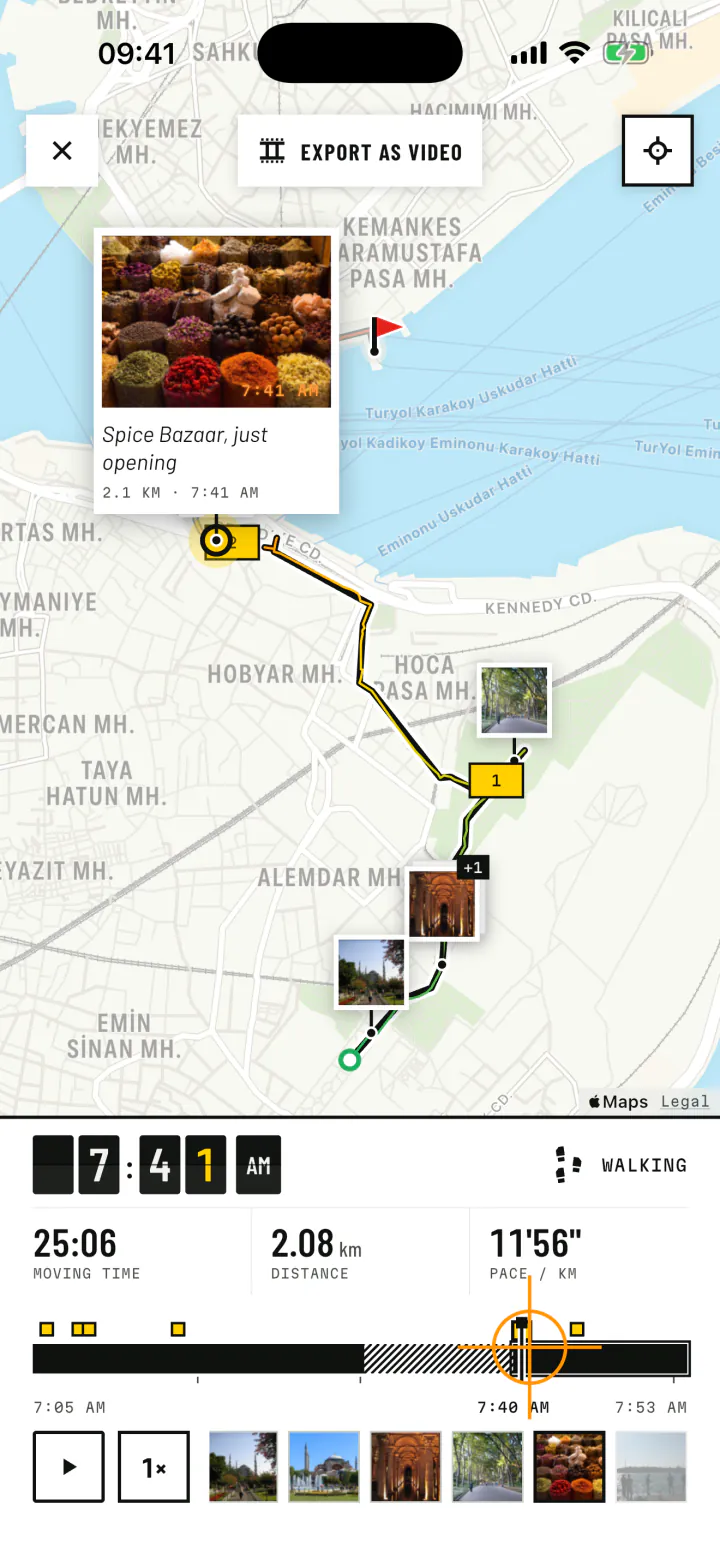
Journal and Atlas
Your days on foot, all in one place
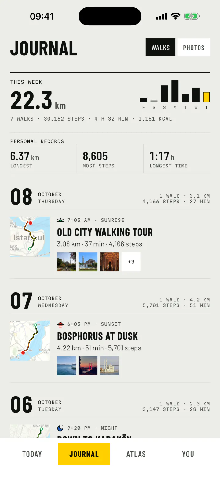
The Journal keeps your walking life day by day: steps, walking time, and a card for every walk with its route and its photo strip. Switch to photos and the same days read as a travel photo diary.
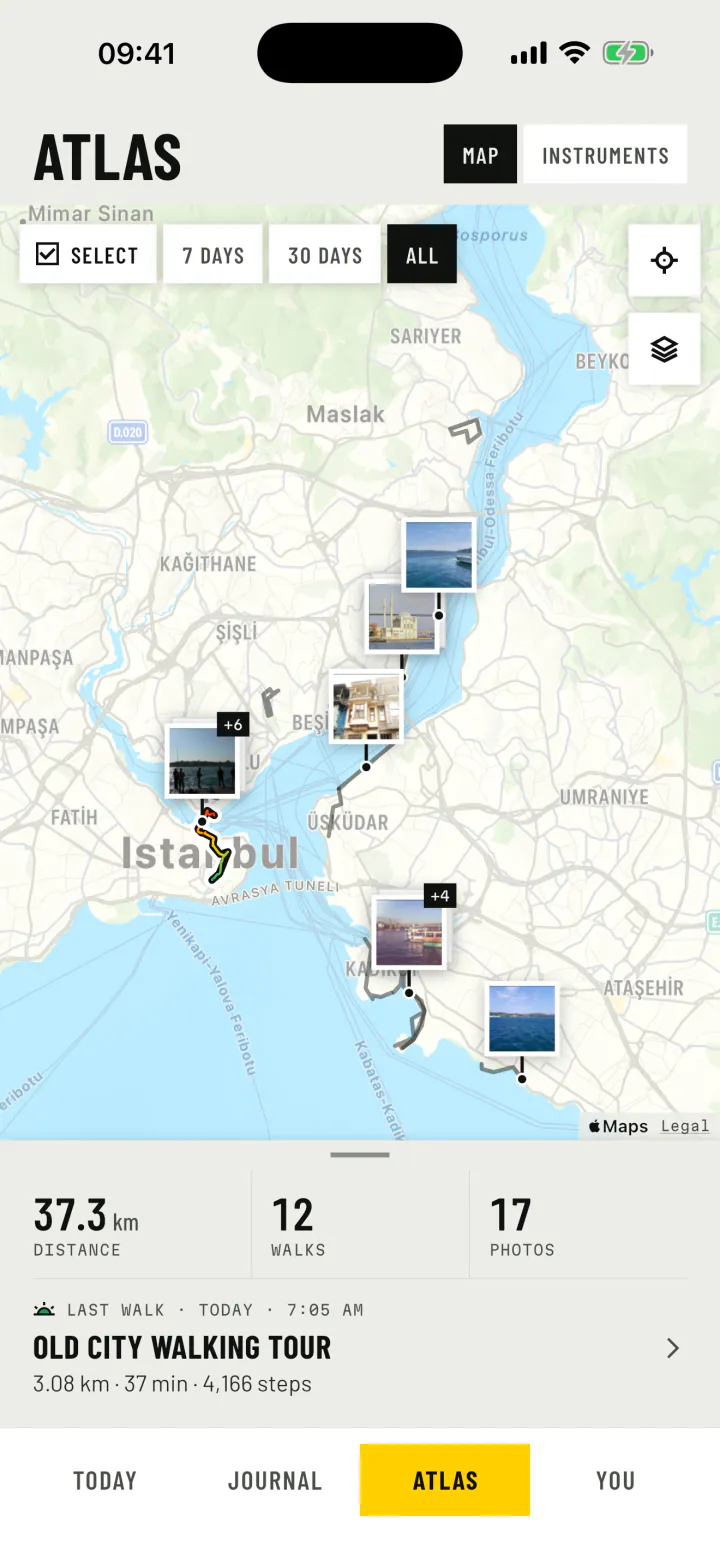
The Atlas puts every walk you have ever recorded on one map, with every photo where you took it. Filter it to the last week, the last month or a handful of walks you pick.
Today
Steps all day, not only on walks
The Today view is a pedometer that reads your phone's own motion sensor. Steps, distance, energy and walking time for the day, measured against a goal you choose, with your last walk right underneath.
6,240 Steps today
Steps today
Widgets and Live Activity
Your walks, on your home screen
A slideshow of the photos from your walks. Today's steps against your goal. The walk in progress, with its time and route. On iPhone, the walk also lives on the lock screen and in the Dynamic Island.
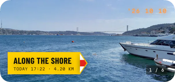
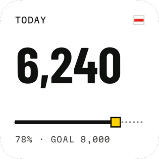
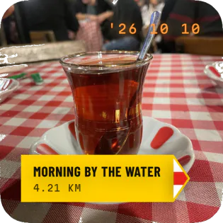
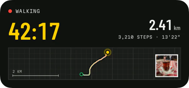
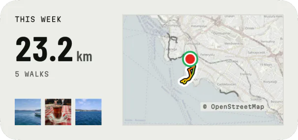
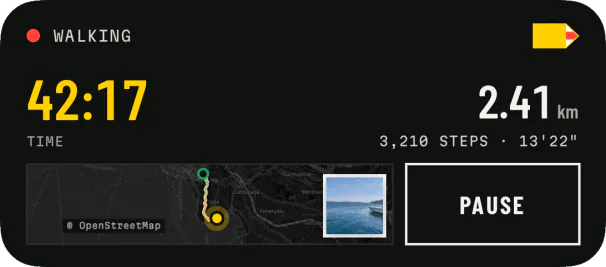
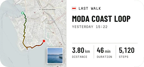
Photos from Wikimedia Commons (CC0): August Dominus, Hamdigumus, Arefin Shamsul, eXploration Etoile. Map data © OpenStreetMap contributors. Credits
Travel modes
Only your own steps count
Took a ferry across the water or a taxi over the bridge? forWalking notices rides by car, ferry and plane, and cycling and running too. The stretch stays on your map and timeline, but a ride never counts as walking. You can also say how you travelled: bus, train, horse, e-scooter and more.
- WalkingDetected
- RunningDetected
- CyclingDetected
- CarDetected
- FerryDetected
- FlightDetected
- Horse ridingYou choose
Time of day
Every walk keeps its hour
A sunrise walk is not the same as a night walk. Each walk and each photo is marked with its sky, worked out from the sun where you were.
- DawnOut with the sunrise
- DayIn full daylight
- DuskInto the sunset
- NightAfter dark
Private by design
Your walks stay on your phone
There is no account to make and no cloud of ours. Your routes, photos and notes live on your phone, and they leave it only when you share them.
- No account and no sign in, ever.
- Walks and photos stored on your phone, not on our servers.
- Anonymous usage data you can switch off in Settings. Never your routes, places or photos.
- 20 languages, light and dark, and Apple Maps on iPhone.
Walking guides
Read before you go
Practical, evergreen guides for planning a city walk, finding things to photograph and building a walking habit that lasts.
-
 CITY WALKS · 7 min read
How to plan a self-guided walking tour
A good city walk is planned like a short story: a start, a few strong stops and an ending worth walking to. Here is how to build one, anywhere.
CITY WALKS · 7 min read
How to plan a self-guided walking tour
A good city walk is planned like a short story: a start, a few strong stops and an ending worth walking to. Here is how to build one, anywhere. -
 PHOTO WALKS · 6 min read
Photo walk ideas: 15 themes for your next walk
A photo walk is a walk with a question in your pocket. Pick one of these, step outside, and see how differently a familiar street looks.
PHOTO WALKS · 6 min read
Photo walk ideas: 15 themes for your next walk
A photo walk is a walk with a question in your pocket. Pick one of these, step outside, and see how differently a familiar street looks. -
DAILY WALKING · 7 min read
10,000 steps a day: what it means and how to build the habit
It is the most famous number in walking, and a little misunderstood. Here is where it comes from, what the research says, and how to walk more without forcing it.
-
ISTANBUL · 8 min read
Istanbul old city walk: Sultanahmet to the Galata Bridge
Three kilometres, six photo stops and a quiet city at first light. This is the walk from our App Store screenshots, written up so you can walk it yourself.
